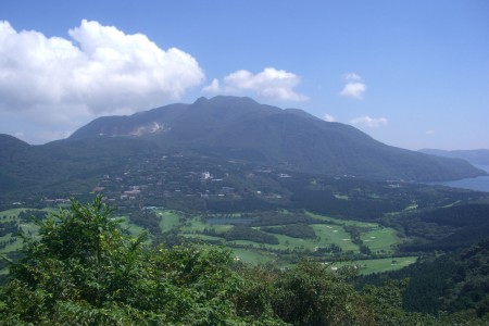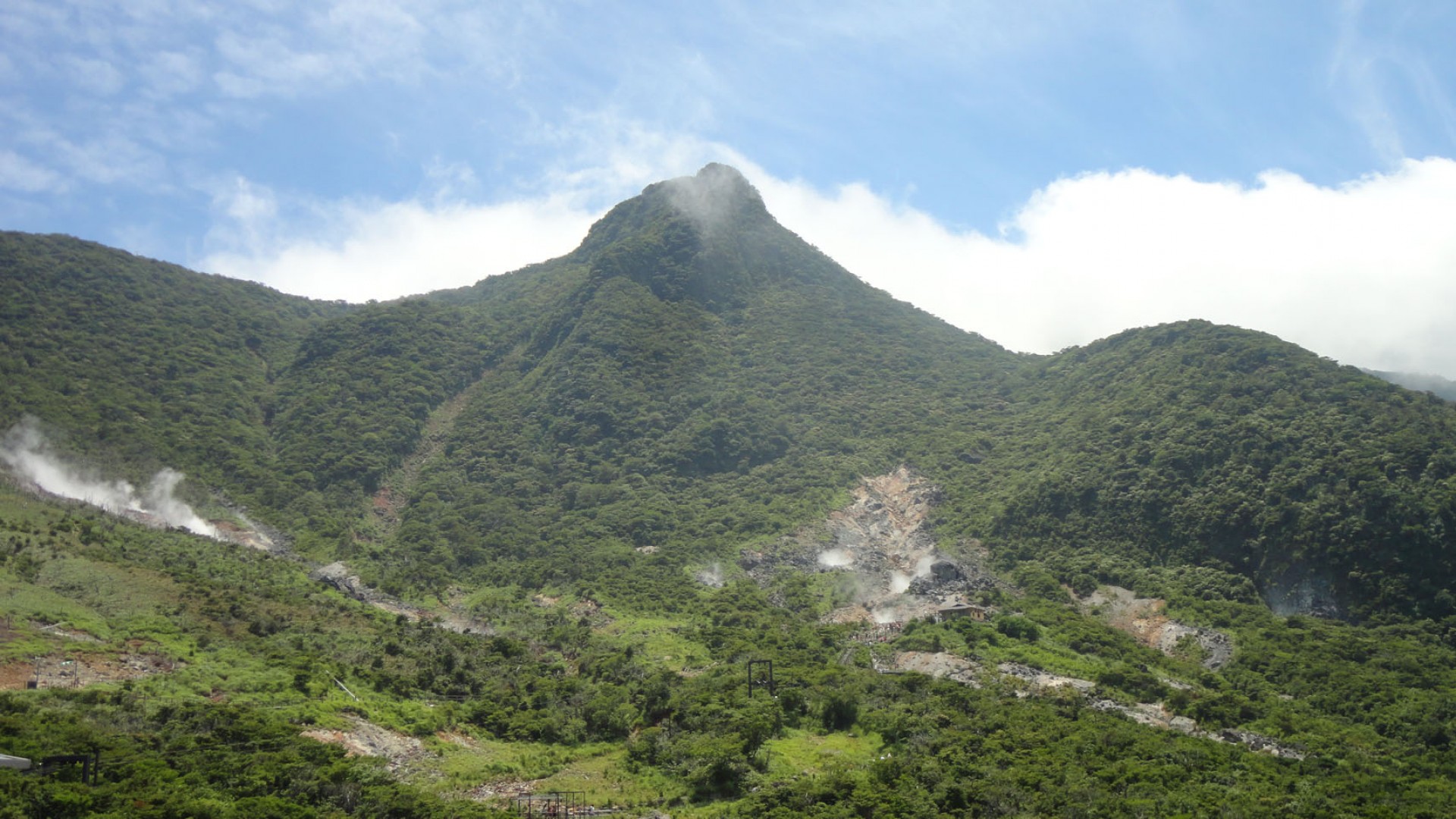
Peak of Mount Kanmurigadake

About
This is a 1,409-meter-high volcano located in Hakone-cho, Ashigarashita-gun, Kanagawa Prefecture. About 3,000 years ago, a phreatic explosion (steam-blast eruption) occurred on the northwestern slope of Kamiyama causing a volcano to collapse. As result, a large amount of sediment flowed into Sengokuhara, now called the Kamiyama debris avalanche. Later, magma rose from underground at the site of the collapse on the northwestern slope of Kamiyama, creating a lava dome. This site is now known as Mt. Kanmurigadake.Essential Information
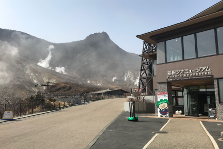
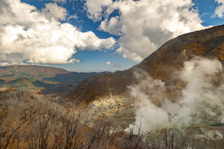
| Hours | *Due to ongoing volcanic activity in the Owakudani area, the Komagatake~Bogasawa hiking course is closed to traffic. Kamurigatake is also inaccessible. |
|---|---|
| Duration |
15m |
| Access |
Hakone Freepass
, FUJI HAKONE PASS
+1
|